

CompletedEnvironmentSangha2019–2022
Sangha community forests
Together with communities, we mapped their lands: hunting, fishing and gathering areas, sacred sites. A basis for recognising their use rights.
Context
Logging concessions and protected areas overlap the spaces families depend on, and they are rarely consulted.
Objectives
- Document customary forest use
- Have them recognised in management plans
Area of intervention
Around Ouesso, Sangha department
Beneficiaries
Indigenous and local communities of the area
Actions
- Training community mappers (GPS)
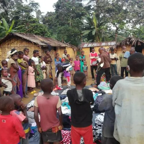
- Feedback workshops in each settlement
- Dialogue with concession holders and authorities
Results
- Maps validated by communities and submitted to authorities
- Use areas included in a management plan
Key figures
- settlements mapped
- mappers trained
Provisional figures, being verified.
Gallery
Project partners
- Rainforest Foundation
Documents
- Download
Testimonials

The map we drew together is now recognised. Our parents’ forest is written down in black and white.
Placeholder testimonies — to be replaced with stories collected with consent.
Support this project
This project is complete. Support our ongoing work.